How fleet monitoring and geofencing can help on the farm

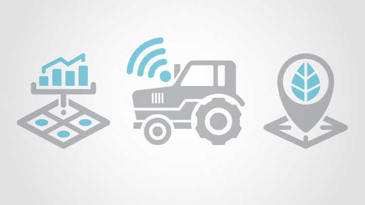
GPS technology is deeply entrenched in guidance and precision crop production practices, but the technology has numerous other functionalities that fit farm equipment, livestock and people.
Fleet monitoring
If you’ve ever used the Uber ride-hailing service, you know a main benefit is seeing exactly how close any available Uber vehicles are in a real-time map on your smartphone. It’s a far cry from the traditional taxi service where you called for a ride and simply waited it out.
Commercial trucking and courier companies have been using GPS fleet monitoring technology for years. They use it to know precisely where all units are and other real-time information relating to trip logistics, travel speed, fuel economy, maintenance status and more.
GPS fleet tracking or monitoring for farm managers and equipment dealers offer similar benefits and help prevent theft as the equipment can be disabled if someone tries to move it. The major equipment manufacturers offer proprietary fleet monitoring subscription services that integrate with their precision farming and guidance hardware in tractors, sprayers, combines, etc. It goes well beyond just location and theft protection. Farm managers can monitor engine performance, efficiency, productivity per hour and more in real time from anywhere.
Some manufacturers partner with companies to provide fleet tracking services. Kubota, for example, has partnered with Cellutrak. Dealers use the GPS tracking and theft prevention service while equipment is on the lot, and buyers can maintain a subscription as an option after purchase.
Aftermarket services specifically for agriculture can be used for equipment or items that do not come equipped with GPS tracking capability. BeeSecure, a Saskatoon-based company, provides a small battery-powered tracking device that can be hidden on equipment, ATVs, or even beehives. The batteries last up to four years, and the service is powered by a mobile-friendly web app that allows the user to connect to the police to share the last known location of a stolen item.
Geofencing
Geofencing is a component of GPS tracking technology that has numerous applications in agriculture. It’s already in use in other sectors. Some golf courses geofence the course so golfers can’t drive golf carts where they shouldn’t (too close to the green, into sand traps or through environmentally sensitive areas). The cart just shuts down, and the driver must back out of where they are.
Easily create or draw geo-boundaries on a computer or mobile device and establish the rules.
A potential use for geofencing is to have active GPS sensors on cattle tags or collars where the herd is on unfenced pasture. If they cross a designated GPS boundary, the rancher is alerted and can take appropriate measures to move the cattle back to where they belong.
There are safety benefits to geofencing and tracking. It’s possible to create geofences around field hazards like power line towers, ditches, trees or anything that may be a problem for autosteer or robotic machinery. The geofence prevents the tractor or sprayer from driving into the hazard if the operator is distracted or unaware of it.
Another recent use of geofencing relates to re-entry into fields or buildings that present a hazard to employees or other persons. If a field has just been sprayed with an insecticide, it’s possible to create a geofence boundary around the field. If an employee, field scout or agronomist tries to enter the field, a smartphone app will generate an alert warning them that the field cannot be scouted for another 24 hours.
Livestock operations with biosecurity concerns can utilize GPS services like Guelph-based Farm Health Guardian, a mobile app and software that allows farmers to create a geofence around farms. The farmer is notified whenever a vehicle passes in or out of the geo-boundary. A record of all registered visitors, including employees, consultants, vets and family members is created automatically. This system has benefits in the event of a disease outbreak because all visitors can be immediately notified and vetted to help control any disease spread.
There are differences in the capabilities of the different services and software packages for GPS fleet management and geofencing. But, in general, the user can easily create or draw geo-boundaries on a computer or mobile device and establish the rules. For example, a farmer or company may create a rule whereby an alert is sent, and the equipment is disabled if anything is started or moved on a Sunday. Another rule may generate an alert if the equipment leaves a prescribed area outside of the farmer’s land base.
The technology is very flexible and becoming easy for developers to work with. It essentially allows programmers to combine GPS locational information with other functionalities. It meshes nicely with the Internet of Things, where everything can be controlled remotely. For example, you could create a geofence around your shop that would detect your smartphone. As soon as you or other registered users crossed the geo-boundary, the shop lights would automatically turn on, and the door would unlock. As soon as you leave the geo-boundary, the lights turn off, and the doors lock. It’s a simple example, but we’re going to see more software and services that allow us to create rules or actions driven by real-time locational information.
From an AgriSuccess article by Peter Gredig.

Here are your top seven agriculture and business podcasts to enjoy and learn from to get you through the workday.
